User guide#
The StarEau plugin stores the network data and most of the business logic inside a PostgreSQL database, following the StaR'Eau geostandard. The QGIS plugin helps to create and upgrade this database, to create a QGIS project to edit the data, to check the quality of the network and to analyse it.
This guide is split in four parts:
- QGIS project and tools: the administration project, the panel of the plugin, and the actions available on the layers.
- Processing algorithms: the algorithms provided by the plugin.
- Network topology: how the database keeps the links between the pipes and the nodes when the data is edited.
- Network analysis: the routing graph of the drinking water network and the tools based on pgRouting.
Database model#
All the data is stored inside a PostgreSQL database:
- the tables of the StaR'Eau geostandard, split in several schemas:
stareau_principale,stareau_aep,stareau_ass,stareau_valeur, etc., - the schema
stareauof the plugin, which contains:- trigger functions in charge of maintaining the network topology: links between the pipes and their initial and terminal nodes, precision of the coordinates,
- functions to check the network: missing, orphan and duplicate nodes,
- functions to walk the network: upstream and downstream of a sanitation node, paths and valves on the drinking water network with pgRouting,
- the tables
aep_vertexandaep_edgeof the routing graph of the drinking water network, - the table
metadatawith the version of the database structure.
See Tables and fields for the description of the schemas and tables,
Useful functions for the SQL functions,
and the Database structure documentation for a complete description of the schema stareau.
Administration tools#
The plugin provides QGIS Processing algorithms which allow to:
- create the database structure with all the schemas, tables, value lists, functions, etc.:
Create database structure, - upgrade the structure automatically when upgrading the plugin:
Upgrade database structure, - create a QGIS administration project with all the layers and actions:
Create database local interface, - check the network:
Get missing nodes,Get orphan nodes,Get duplicate nodes, - analyse the drinking water network:
Fill AEP vertices and edges,Water intake points to nearest treatment,Treatments to nearest reservoir.
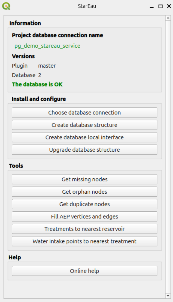
These algorithms, described in Processing algorithms, are available in the QGIS Processing toolbox and in the StarEau panel, which also shows the database connection used by the project and checks that the plugin and database versions match.