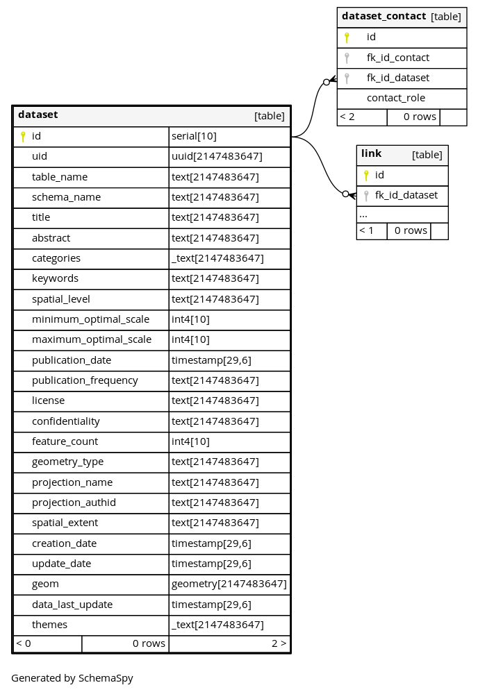
Columns
| Column | Type | Size | Nulls | Auto | Default | Children | Parents | Comments | ||||
|---|---|---|---|---|---|---|---|---|---|---|---|---|
| id | serial | 10 | √ | nextval('pgmetadata.dataset_id_seq'::regclass) |
|
|
Internal automatic integer ID |
|||||
| uid | uuid | 2147483647 | uuid_generate_v4() |
|
|
Unique identifier of the data. E.g. 89e3dde9-3850-c211-5045-b5b09aa1da9a |
||||||
| table_name | text | 2147483647 | null |
|
|
Name of the related table in the database |
||||||
| schema_name | text | 2147483647 | null |
|
|
Name of the related schema in the database |
||||||
| title | text | 2147483647 | null |
|
|
Title of the data |
||||||
| abstract | text | 2147483647 | null |
|
|
Full description of the data |
||||||
| categories | _text | 2147483647 | √ | null |
|
|
List of categories |
|||||
| keywords | text | 2147483647 | √ | null |
|
|
List of keywords separated by comma. Ex: environment, paris, trees |
|||||
| spatial_level | text | 2147483647 | √ | null |
|
|
Spatial level of the data. E.g. city, country, street |
|||||
| minimum_optimal_scale | int4 | 10 | √ | null |
|
|
Minimum optimal scale denominator to view the data. E.g. 100000 for 1/100000. Most “zoomed out”. |
|||||
| maximum_optimal_scale | int4 | 10 | √ | null |
|
|
Maximum optimal scale denominator to view the data. E.g. 2000 for 1/2000. Most “zoomed in”. |
|||||
| publication_date | timestamp | 29,6 | √ | now() |
|
|
Date of publication of the data |
|||||
| publication_frequency | text | 2147483647 | √ | null |
|
|
Frequency of publication: how often the data is published. |
|||||
| license | text | 2147483647 | √ | null |
|
|
License. E.g. Public domain |
|||||
| confidentiality | text | 2147483647 | √ | null |
|
|
Confidentiality of the data. |
|||||
| feature_count | int4 | 10 | √ | null |
|
|
Number of features of the data |
|||||
| geometry_type | text | 2147483647 | √ | null |
|
|
Geometry type. E.g. Polygon |
|||||
| projection_name | text | 2147483647 | √ | null |
|
|
Projection name of the dataset. E.g. WGS 84 - Geographic |
|||||
| projection_authid | text | 2147483647 | √ | null |
|
|
Projection auth id. E.g. EPSG:4326 |
|||||
| spatial_extent | text | 2147483647 | √ | null |
|
|
Spatial extent of the data. xmin,ymin,xmax,ymax. |
|||||
| creation_date | timestamp | 29,6 | now() |
|
|
Date of creation of the dataset item |
||||||
| update_date | timestamp | 29,6 | √ | now() |
|
|
Date of update of the dataset item |
|||||
| geom | geometry | 2147483647 | √ | null |
|
|
Geometry defining the extent of the data. Can be any polygon. |
|||||
| data_last_update | timestamp | 29,6 | √ | null |
|
|
Date of the last modification of the target data (not on the dataset item line) |
|||||
| themes | _text | 2147483647 | √ | null |
|
|
List of themes |
Indexes
| Constraint Name | Type | Sort | Column(s) |
|---|---|---|---|
| dataset_pkey | Primary key | Asc | id |
| dataset_id_idx | Performance | Asc | id |
| dataset_table_name_schema_name_key | Must be unique | Asc/Asc | table_name + schema_name |
| dataset_uid_key | Must be unique | Asc | uid |
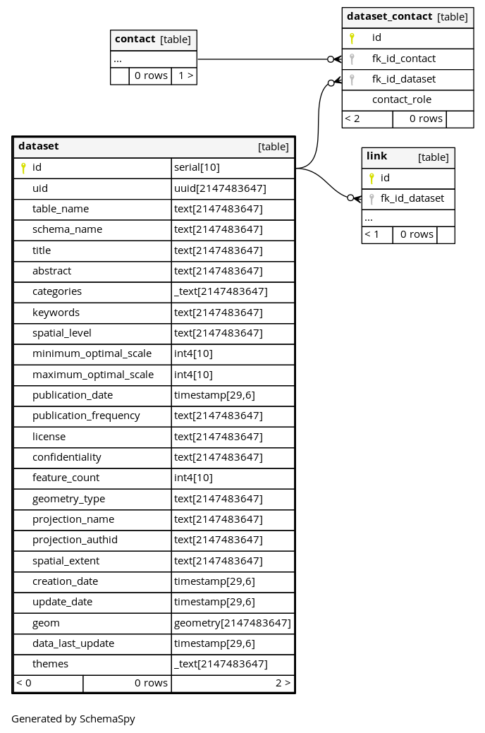
Relationships
Close relationships within degrees of separation