More ?
Advanced features
-
Easily change the templates for the HTML content (visible in the panel): they are stored inside the
html_templatetable -
Generate a dataset HTML card with SQL
SELECT pgmetadata.get_dataset_item_html_content('demo', 'trees', 'fr'); -
Generate a DCAT representation with SQL for one or many tables
SELECT * FROM pgmetadata.get_datasets_as_dcat_xml('fr') WHERE True -
QGIS configuration file variables when deploying QGIS in you organisation (hide admin tools, auto-activate plugin)
[pgmetadata]
auto_open_dock=true
end_user_only=true
connection_names=Connection 1;Connection 2;Connection 3

[Plugins]
pg_metadata=true
Share
(web) Applications can use the SQL functions to show the localized metadata in HTML format or publish the full catalog in DCAT (and be harvested by Third party Metadata portals).
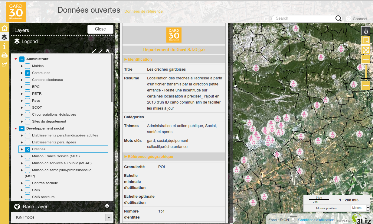
Example of Lizmap Web Client PgMetadata module: https://github.com/3liz/lizmap-pgmetadata-module/

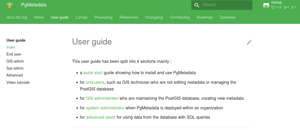
Documentation
- For the administrator
- For the end user
- For the system administrator
- Changelogs, videos, road map, database structure, etc.
https://docs.3liz.org/qgis-pgmetadata-plugin/

Conclusion
Why another metadata tool ?
Many open-source tools already exist to store and share metadata.
Why PgMetadata ?
- See the previous slide about PostgreSQL
- Keep the metadata as close as possible to the data
- Not a new application, but a set of tools for QGIS and your existing PostgreSQL database:
- the GIS administrator already uses PostgreSQL and can understand easily how PgMetadata works,
- the GIS users do not need to learn to use a new application
- GIS user oriented: as a user, search & get the metadata from QGIS VERSUS browse a web page and download the data
- It is NOT designed to replace the existing metadata web portals, but to be used as a complementary tool !
Road map
More locales (today in English, French & German)
New features:
- Support raster tables
- Auto-fill the dataset table from a selection of PostgreSQL tables/views
- Import/Export the QGIS native layer metadata properties
- Import metadata from DCAT
Resources
- Documentation: https://docs.3liz.org/qgis-pgmetadata-plugin/
- Database structure: https://docs.3liz.org/qgis-pgmetadata-plugin/database/
- Source code: https://github.com/3liz/qgis-pgmetadata-plugin/
- Translations: https://www.transifex.com/3liz-1/pgmetadata/
- Twitter: @3liz_news
- Email: info@3liz.com
New version 1.1.0 released today : views support, German translations, new items in the glossary, enhanced locator search, etc.
Thanks
 Thanks to the French Gard province for funding this extension
PgMetadata already has external contributors: thanks @effjot & @tschuettenberg for testing and helping !
Thank you for your attention
